The Haven (Boston)
The Haven is the tidal river of the Port of Boston in Lincolnshire. It serves as the outfall into the sea of the River Witham and several major land drains of the northern Fens, which are known collectively as the Witham Navigable Drains. It also provides access to the town and its docks for shipping from the Wash, one of the largest estuaries in the country and also fed by the Rivers Welland, Nene and Great Ouse. Nowadays, the activity has moved below the old centre of the town. The fishing fleet moors below the railway bridge and cargo vessels lie either in tidal berths beside the dock where there are handling facilities or in the dock itself where there are also facilities including the handling of containers. Access to the Haven from the River Welland is through the Grand Sluice, a tidal barrage which holds in the River Welland and releases flood water at low tide and then holds out the incoming high tide. Today, only pleasure craft such as the Boston Belle travel through the Grand Sluice lock into the Haven.
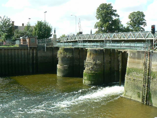
Boston Grand Sluice
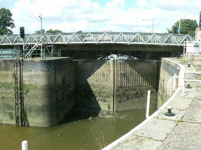
The adjacent lock gates
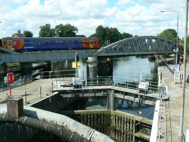
The lock with the River Witham beyond
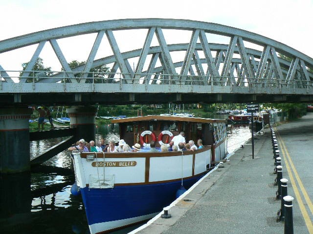
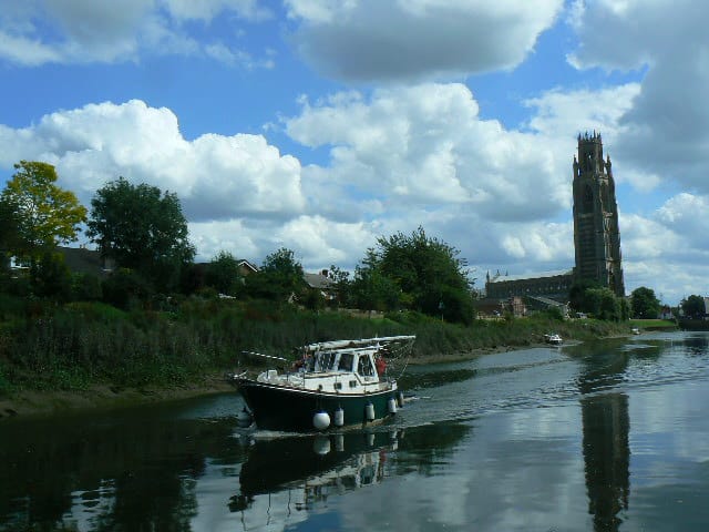
The Boston Belle about to leave for The Wash
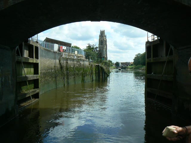
The tidal Haven viewed through the lock gates
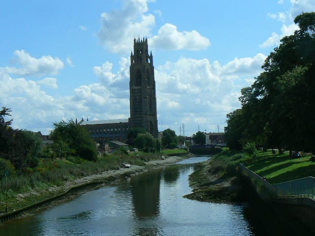
St Botolph's church is known as The Boston Stump
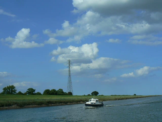
An incoming vessel passes by
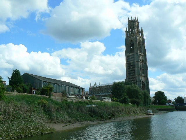
The Boston Stump
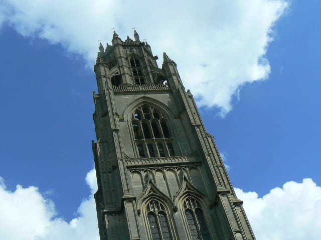
The church tower is 83 metres tall
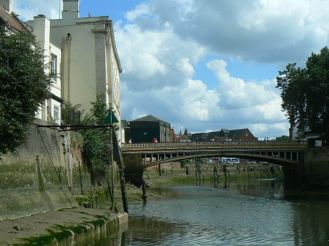
The town bridge
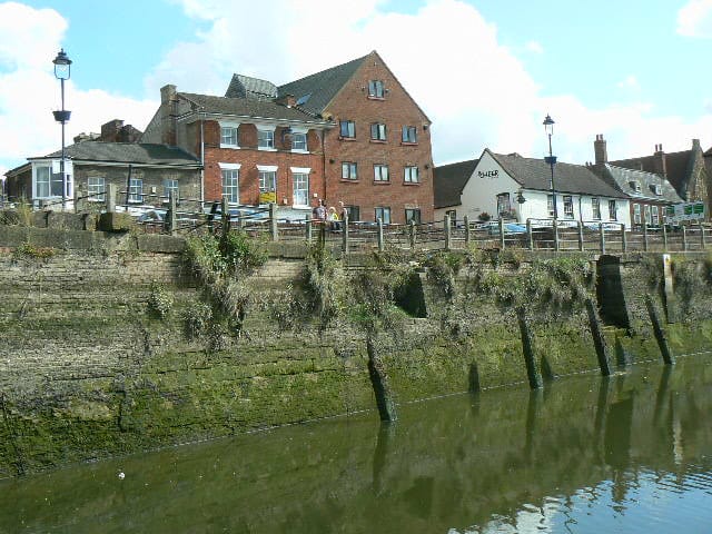
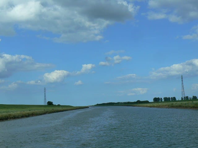
Boston riverside
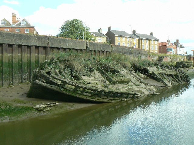
A wreck is exposed at low water
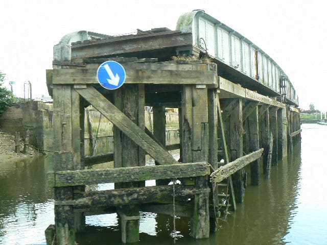
The disused Boston Docks railway swing bridge
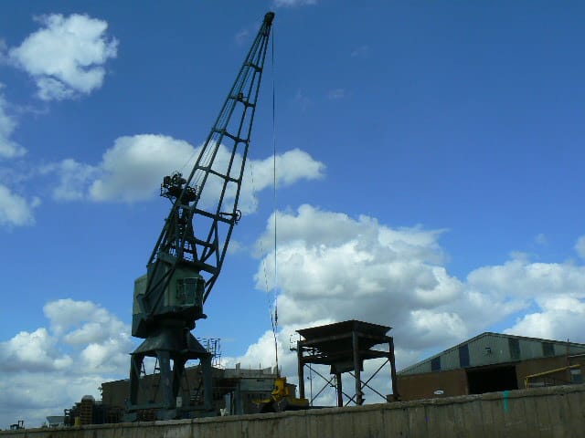
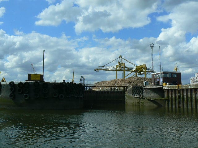
The riverside wharf
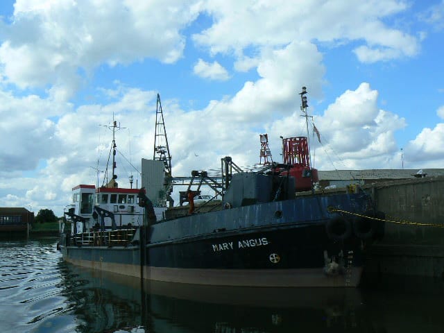
A cargo vessel moored at the wharf
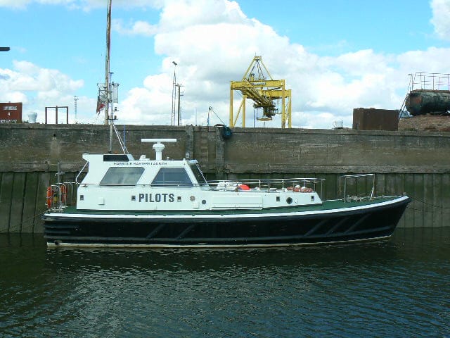
The pilot cutter
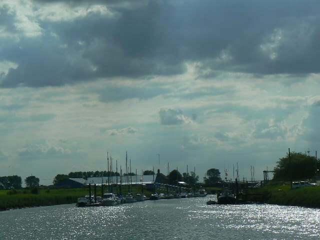
The entrance to the town docks
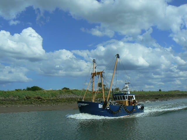
A fishing boat arrives with the incoming tide
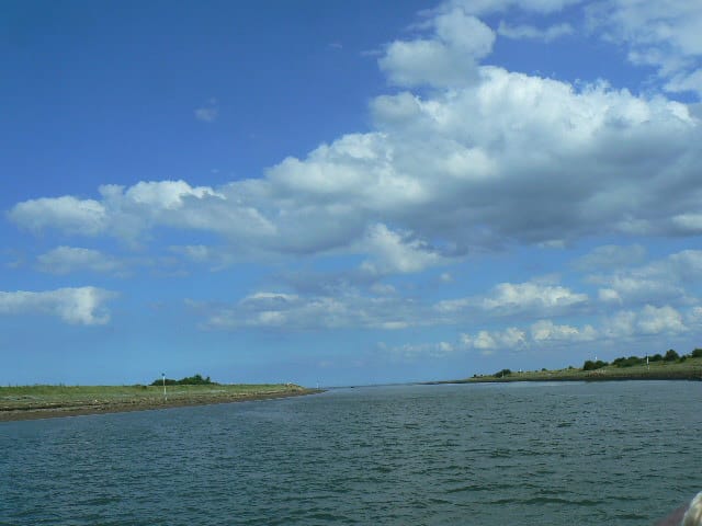
Approaching The Wash
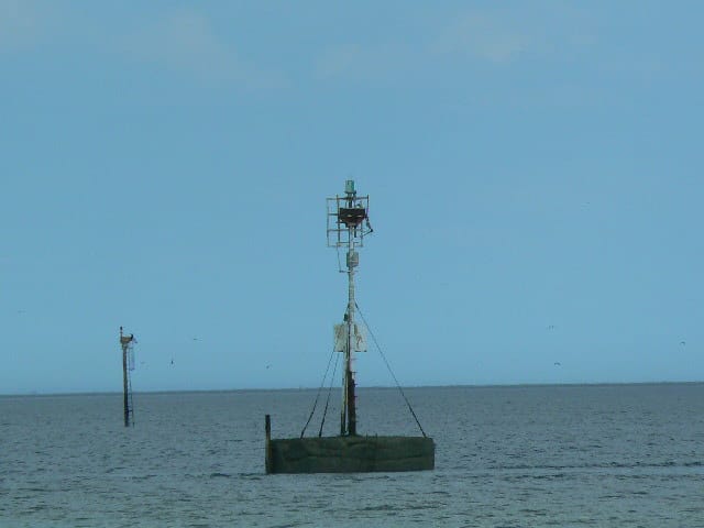
The beacon marking the Boston Deep Channel
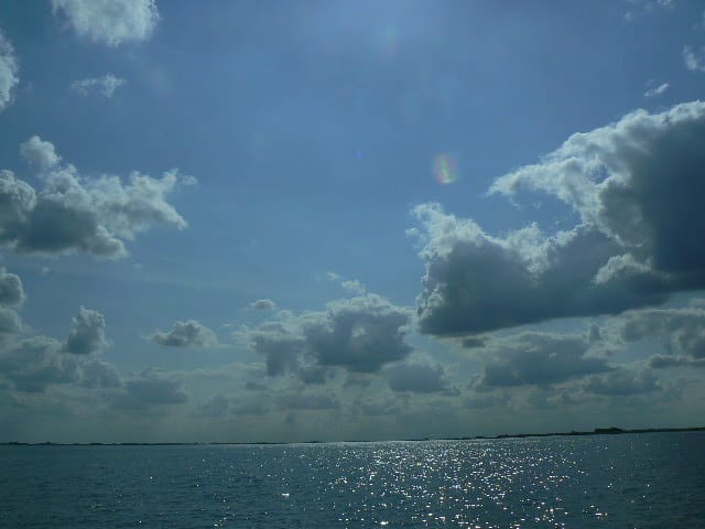
The Wash, now at high tide
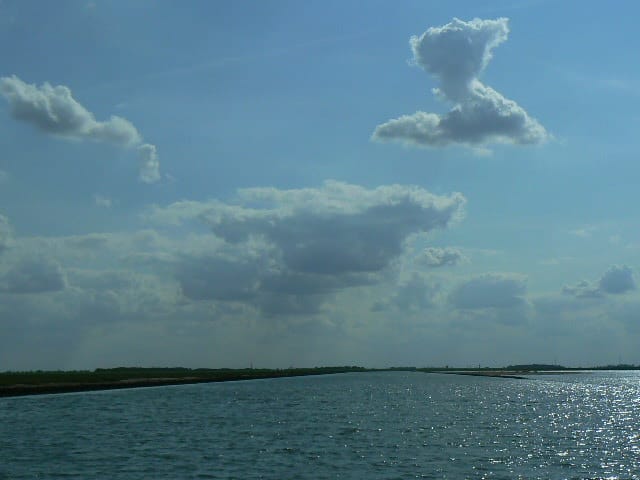
Entering the River Welland
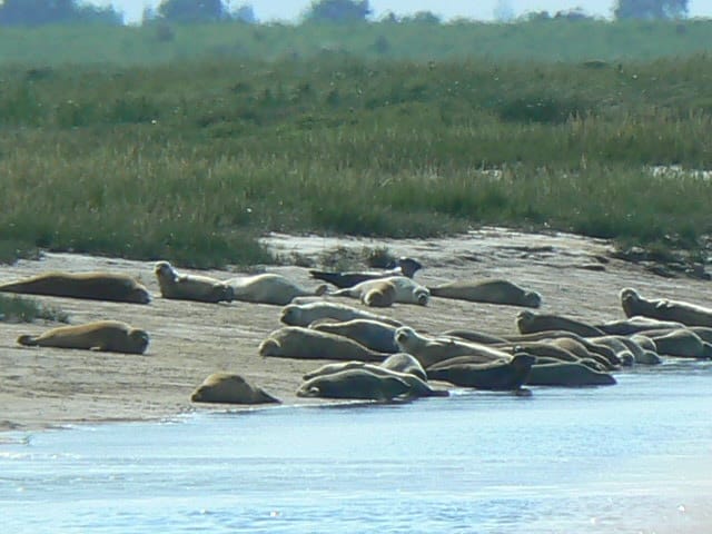
Seals are basking on the mudbanks
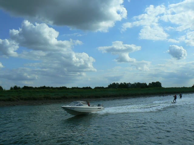
And water skiers are using the river
Fosdyke Yacht Haven is ahead
Now turned round and back down the River Welland towards The Wash
Passing another incoming vessel
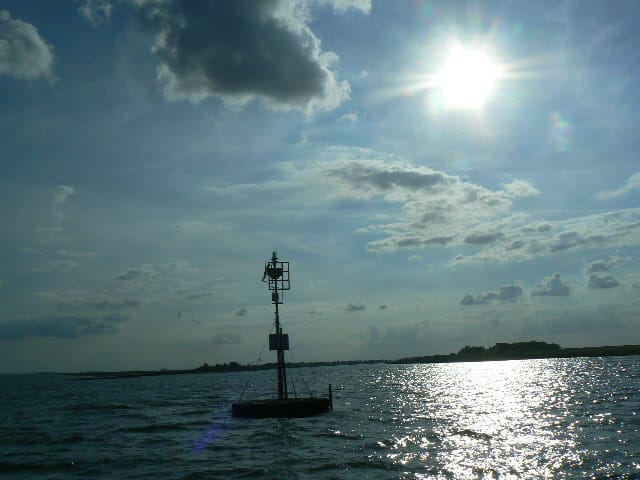
Passing the marker beacon once more and into The Haven to Boston
